Champagny piste map and ski area orientation
Champagny appears on the La Plagne piste map. Use the official interactive map for winter openings and its downloadable La Plagne or Paradiski maps for orientation; check your return route before skiing away.
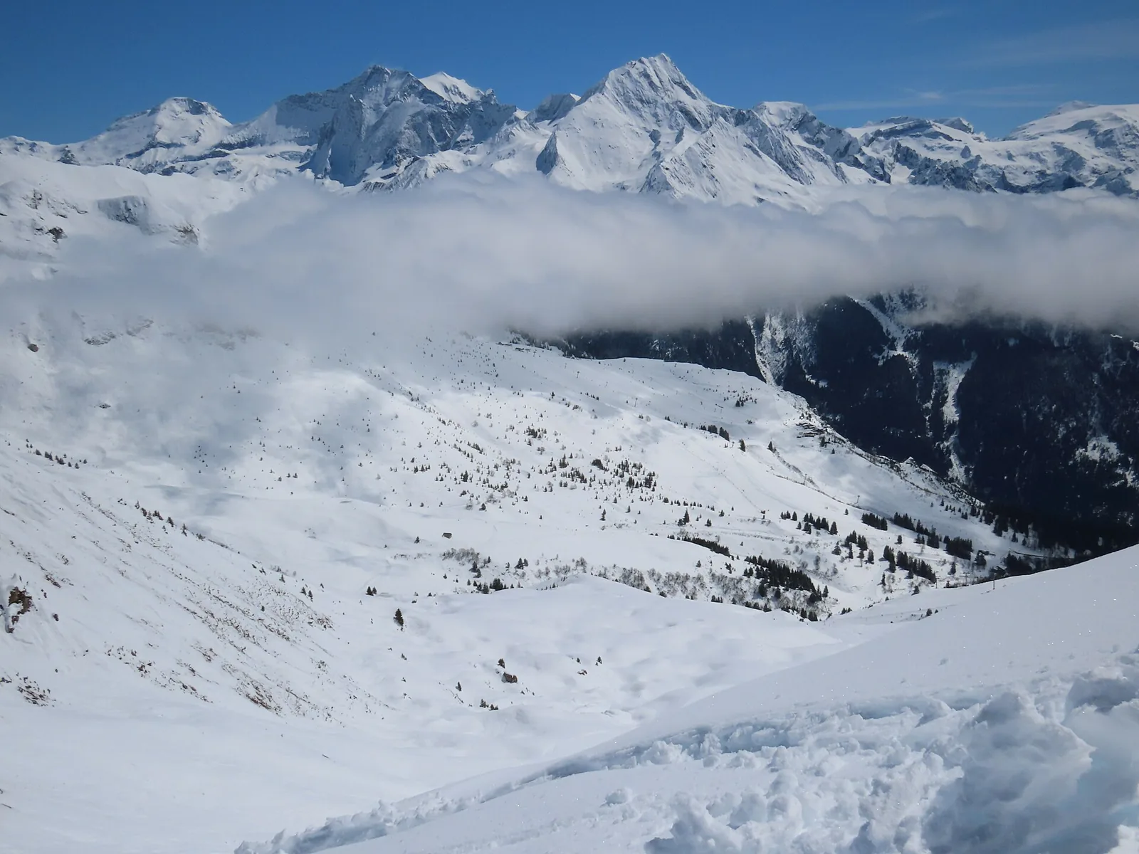
Champagny ski area near Col de la Petite Forcle. · Photo: Rémih / Wikimedia Commons, CC BY-SA 4.0 (resized to WebP) Source
Start with the official La Plagne piste map and openings page. It provides downloadable La Plagne and Paradiski maps, plus winter lift and piste status. Save the map for orientation, then reopen the status page for the day’s operation.
Read the map from your base outwards
- Locate Champagny village and the gondola taking you into the alpine area.
- Identify the gondola arrival and the open lifts that lead to terrain within your ability.
- Trace your way back before choosing a long outward route.
- Check whether every part of the plan lies inside your pass coverage.
A piste map compresses distance and elevation into a readable diagram. Two labels that look close can still require several lifts or a more difficult connecting run. Ask lift staff or your instructor when a connection is unclear.
Understand the colour and the full route
La Plagne uses green for beginner pistes, blue for progressing skiers, red for confident skiers and black for very strong skiers. Choose for the least confident member of the group. A day composed mainly of blue runs may still include an unsuitable link or difficult snow at the end.
For a first day, choose a short area you can repeat. Once you know the local layout, extend the distance gradually. Keep the gondola return and lesson pickup location visible in your plan.
La Plagne versus Paradiski
The wider Paradiski map includes the connection to Les Arcs / Peisey-Vallandry via the Vanoise Express. A printed connection does not mean your pass includes it or that the route is operating. From Champagny, allow time to return through La Plagne and ask about the final lifts before committing to the crossing.
Use the live layer correctly
During winter operation, the official page describes openings as real time. Outside operating hours it directs visitors to forecast openings. Read that distinction and the update time: yesterday’s open piste is not a promise for this morning.
Check the Champagny access lift, each key connection and your return. If a link closes, follow resort staff instructions rather than navigating an improvised off-piste shortcut.
Plan your next step
Skiing from Champagny · Compare pass coverage · Check snow and openings
Common questions
Where is the official Champagny piste map?
Champagny is included on the official La Plagne map. The La Plagne piste-map page also provides a wider Paradiski PDF and winter opening information.
Does the PDF show today’s open pistes?
A downloaded map is for orientation. Use the official current opening information to check lifts and pistes for the day.
Can I plan a Paradiski crossing from the map alone?
Check pass coverage, connection status and the full return as well. From Champagny, the return through La Plagne must fit within operating hours.