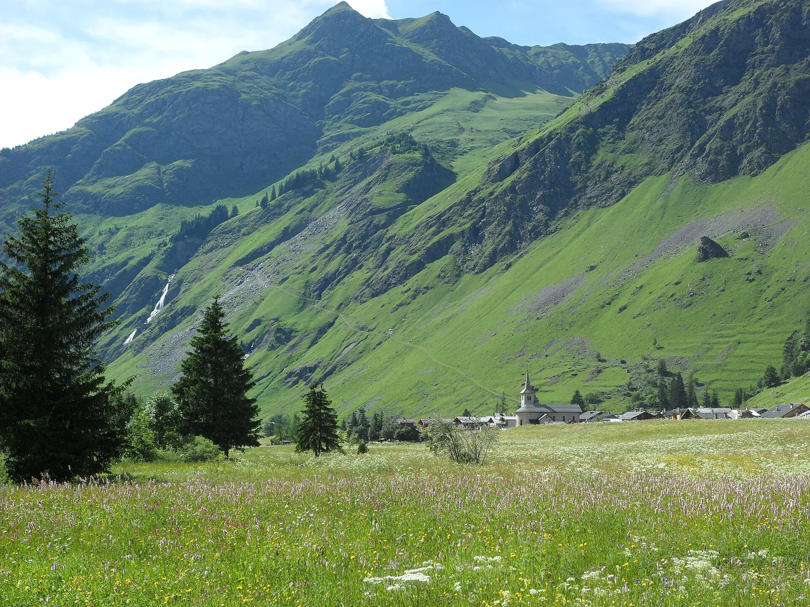
Le Laisonnay: access, waterfall and walking starts
Le Laisonnay is the upper-valley starting point for Cascade du Py and the walking approaches to Glière and Plaisance. Reach the Le Laisonnay-d’en-Bas parking when the road is accessible, then choose a short valley visit or a separate mountain hike.
Champagny-le-Haut valley. · Photo: Cld303 / Wikimedia Commons, CC BY-SA 3.0 (resized to WebP) Source
Some booking links are affiliate links. We may earn a commission at no extra cost to you. Read the disclosure.
Le Laisonnay is a useful destination in its own right, as well as a trailhead. A visit can stop at the hamlets and waterfall, while hikers continue into separate mountain valleys. Decide which day you want before travelling up from Champagny.
Getting to the start
Official Plaisance approach information names the parking at Le Laisonnay-d’en-Bas. From the main village, the road first climbs to Champagny-le-Haut and then continues up the valley in suitable seasonal conditions. Use the signed parking and keep access clear for residents and working vehicles.
In winter, the road endpoint is at Le Bois according to the park’s Refuge du Bois information. Reaching that point does not establish safe walking access farther up the valley. Confirm current arrangements for your visit, especially outside the summer season.
Choose your outing before leaving the parking
| Plan | The key distinction |
|---|---|
| Hamlet and waterfall visit | Stay with the valley viewing area; you need not climb to a refuge |
| Glière approach | About 450 m of uphill walking; the dry former lake is farther on |
| Plaisance approach | About 600 m ascent, with a sustained climb by the Cascade du Py |
| High-pass outing | A larger mountain itinerary, requiring its own map, conditions and return plan |
Use Cascade du Py for a short viewing visit. Compare Glière and Plaisance before choosing a hike; walking times on a sign generally need a separate allowance for the return.
Meals and overnight stops
The Refuge du Laisonnay is a road- or trail-access establishment in the hamlet area. It is different from the higher mountain huts. Check its own opening calendar and reserve if you are counting on a meal or bed; a dining stop should not be the only food provision for a mountain day.
For an overnight farther up, book the named hut and confirm the facilities available during your stay. Guarded summer service and an unguarded shelter are different arrangements. At Glière, the operator’s current closure notice makes direct confirmation particularly important.
Plan the return
If somebody drops you at Le Laisonnay, agree where and when to meet. Confirm seasonal transport stops directly and download your walking map before leaving. Allow enough daylight for the descent and leave time to enjoy the valley without rushing at the end of the day.
Common questions
Can I drive to Le Laisonnay?
The hamlet is road-accessible in suitable seasonal conditions. The winter road endpoint is at Le Bois, so check local road information before planning a car trip to Le Laisonnay.
Which refuge walk starts at Le Laisonnay?
Both Glière and Plaisance are approached from the Le Laisonnay trailhead area. Glière involves about 450 m of ascent; Plaisance about 600 m. They are different paths and should be planned separately.
Is the Refuge du Laisonnay an altitude refuge reached only on foot?
No. The park lists the Refuge du Laisonnay as accessible by road or trail. Do not confuse it with the higher refuges of Glière and Plaisance.